-40%
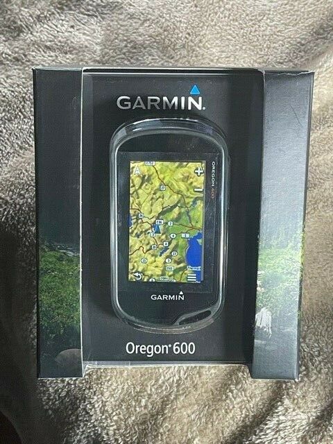
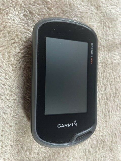
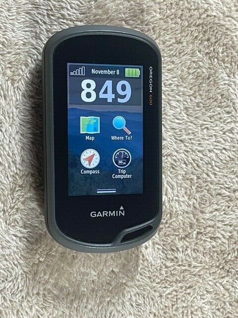
Garmin Oregon 600 Handheld
$ 124.08
- Description
- Size Guide
Description
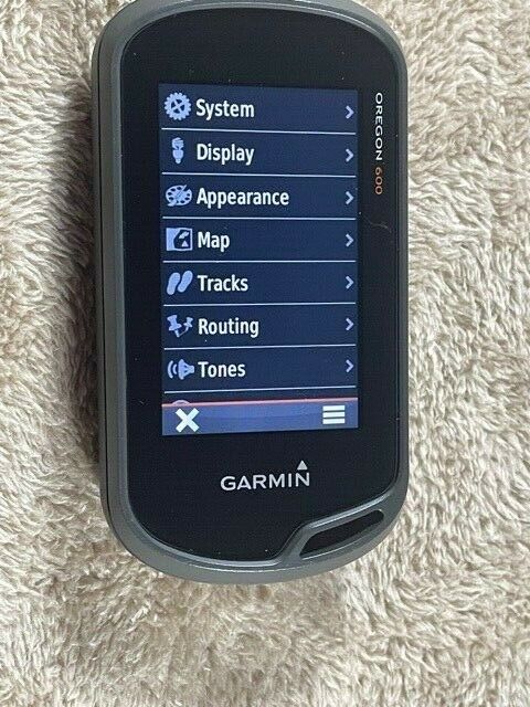
Outdoor enthusiasts know that when you head out on any unfamiliar trail, navigation accessories can help keep you safe. Knowing your exact location when you are miles from any road or city will keep you connected and heading in the right direction. Handheld GPS devices like this Garmin Oregon 600 can help guide you during all of your outdoor activities. You can trust the calibration and satellite positioning capabilities of the Garmin Oregon 600 GPS receiver, as these features can guide you safely on your routes. You can mark projected waypoints and maps throughout your hike to keep track of your completed route. You will be able to find your starting point, campsite, and other key waypoint locations. Program your route into the Garmin Oregon 600T series GPS receiver and then send it to your contacts with the touch of a button. The three-axis electronic compass tells you where you are at all times. You can obtain a fix from either GPS or GLONASS satellites as you are out in the wild. The transflective and glove-friendly touchscreen lets you see where you're going even on the brightest day. It runs on standard AA batteries with an average battery life of 16 hours. Alternatively, you can add a rechargeable NiMH battery pack if you don’t want to use AAs. This Garmin’s great battery life allows you to relax in knowing you’ll always have access to a map when you’re exploring. Weighing less than half a pound with batteries installed, the Garmin Oregon 600 doesn't add much to your hiking load. Also, it features a compact 3-inch display screen, so it can be stored easily in your pocket or gear bag. For even more convenience, you can purchase accessories such as mounts. In addition to being pre-programmed with a compass, this GPS device offers several other features. It includes a barometer, an altimeter, a geocaching mode, and a hunting and fishing calendar. It also provides photo navigation and information regarding the sun and lunar cycles. With additional features such as the barometer and altimeter, you can check the barometric pressure and other weather conditions. You can also find your current elevation from sea level. These Oregon GPS units will provide exact longitude and latitude coordinates. They also support BaseCamp software to give you access to any topographic or road maps you would like to add to your queue. The geocaching feature of this Garmin Oregon GPS unit is perfect for those who enjoy hunting for geocaches. This device will not only project where the geocache is, but it will also record the cache details and when you found it. The Garmin Oregon 600 is perfect for spending countless hours finding caches in cities and along backcountry trails. It can also help you hide them yourself.Features
Compatibility with Russian GLONASS system allows up to 20% faster and more reliable satellite acquisition, helpful in challenging spots such as deep canyons or heavy cover
GLONASS lets the Oregon 600 lock on to 24 more satellites than using GPS alone; WAAS (Wide Area Augmentation System) receiver is accurate to within 10 ft. in North America
Brilliant, sunlight-readable touchscreen is reinforced for impact resistance; dual-orientation display lets you view maps and data in portrait or landscape mode
Reflective display technology uses external light, such as sunlight, along with an LED backlight to increase brightness
Multi-touch design accommodates easy operation while wearing gloves; customizable buttons allow 1-touch waypoint marking
Included worldwide basemap features shaded relief; easily add more maps such as TOPO U.S. 24K and City Navigator® (sold separately) with the microSD™ card slot
Built-in basemap stores up to 4,000 waypoints, 200 routes and 200 tracks with up to 10,000 points
3-axis electronic compass with accelerometer tilt compensation shows where you're heading even when you're standing still, without the need to hold the unit level
Barometric altimeter tracks changes in pressure to help pinpoint your altitude; it also plots barometric pressure over time to track changing weather conditions
Full Track view shows your entire elevation profile; Future Plot uses your mapping data to predict the elevation profile of your route ahead
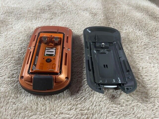
Enjoy up to 16 hrs. of battery life with 2 AA batteries (sold separately) or a rechargeable NiMH pack (not included)
Wirelessly share your waypoints, tracks, routes, geocaches and maps with other Oregon 600-series devices; just touch Send to instantly transfer your information
Enjoy ANT+ wireless compatibility with the Chirp geocache transmitter, Tempe temperature sensor, heart rate monitors and cadence sensors (sold separately)
Download up to 4 million geocache files from OpenCaching.com or GSAK.net and view full descriptions, logs, hints and photos
BaseCamp™ trip-planning software lets you view and organize maps, waypoints and routes, and track and share your adventures with your friends
With Garmin Connect™ compatibility, Oregon 600 lets you enjoy an online community where you analyze, categorize and share data
When paired with a BirdsEye Satellite Imagery subscription (not included), BaseCamp™ allows you to download an unlimited amount of satellite imagery
Flashlight mode features high and low brightness levels and a battery-saving strobe option
Rugged, waterproof construction helps protect the unit from bumps, dust and moisture; meets IEC 60529 lPX7 standards (can be submerged to 1m for up to 30 min.)
Other features include a hunting/fishing calendar, sun and moon info, custom points of interest and a picture viewer
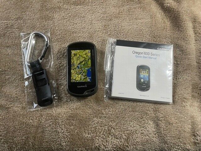
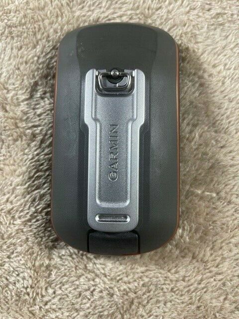
The Garmin Oregon 600 GPS comes with a USB/charging cable, carabiner clip and user documentation
Technical specs
Best Use
Hiking
Preloaded Map
None
Basemap
Yes
Wireless Communication
Yes
OS Compatibility
Mac, Windows
Display Size
2.5 x 1.5 inches
Screen Pixels
400 x 240
Touch Screen
Yes
Visual Map Display
Yes
Color Screen
Yes
Number of Routes
200
Number of Waypoints
4,000 and unlimited geocaches
Internal Memory
1.5 GB built-in/expandable microSD card slot
Expandable Memory
Yes
Compass
Yes
Altimeter
Pressure-based
Compact Antenna
High-sensitivity
Position Accuracy
WAAS-enabled 3 meters
Battery Type
Alkaline
Batteries
2 AA/rechargable NiMH pack (sold separately)
Average Battery Life
16 hours
Dimensions
4.5 x 2.4 x 1.3 inches
Weight
7.4 ounces
Shipping to lower 48 US states only. Seller accepts PayPal.
